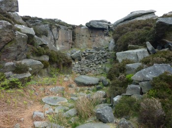
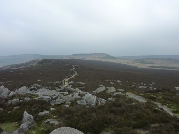
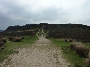
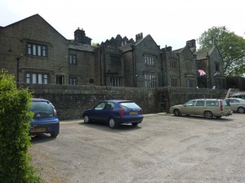
Starting from the car park just outside Hathersage, which incidentally only accepts credit cards and no coins, head North towards Millstones Edge. This part of the route is well worn with many little tracks, we found it hard to know exactly which one to follow but heading towards the rocks just made for easy navigation. On top of Over Owler the path in front became clear, it was not our intended path however it met up with the original route to join the main road.
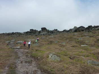
When at the main road follow it North for half a mile or so until you reach the car park on the left. At the car park, on the right, the path up to Higger Tor is obvious. The path is well worn with a few rocks to climb up. From here there are several routes to take, we took a route that involved clambering down Higger Tor, where some jumping from rock to rock is required. There is a footpath to the side for an easier route down but not as much fun… From here there is a good path to the Carl Wark hill fort with a steepish climb at the end.
From the Carl Wark hill fort the view back shows how pronounced Higger Tor is on the landscape at 384m.
A good path leads down from Carl Wark hill fort towards Burbage Brook and then across the A6187 en route to Longshaw Lodge. At the lodge there is a Visitors Centre where refreshments and toilet breaks can be had. Keeping to the right of the drive allows you to drop down to a pathway that takes you past Little John’s Well (of Robin Hood fame).
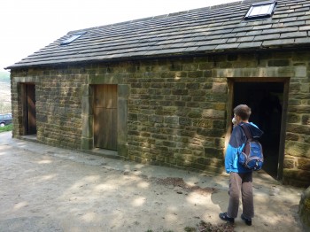
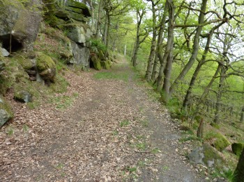
Once past the Well follow the path along to an information point. This is a brick building with information on local history and land ownership. Also probably a very good, and well used, shelter when the weather is bad. Cross over the road, by the ice cream vans, and there is a break in the wall where you head down to Burbage Brook. There are a few bridges to cross, take your pick, and head south towards Bole Hill. You will head in to forestry and ground becomes uneven even on the pathway. The track breaks away to the right and up hill, for a few hundred meters. Follow this and you will ziz zag your way up to the top and on to the Stone Circle Settlement. We followed the well trodden pathway to the Settlement wall and then north back to the main road and across to the car park.
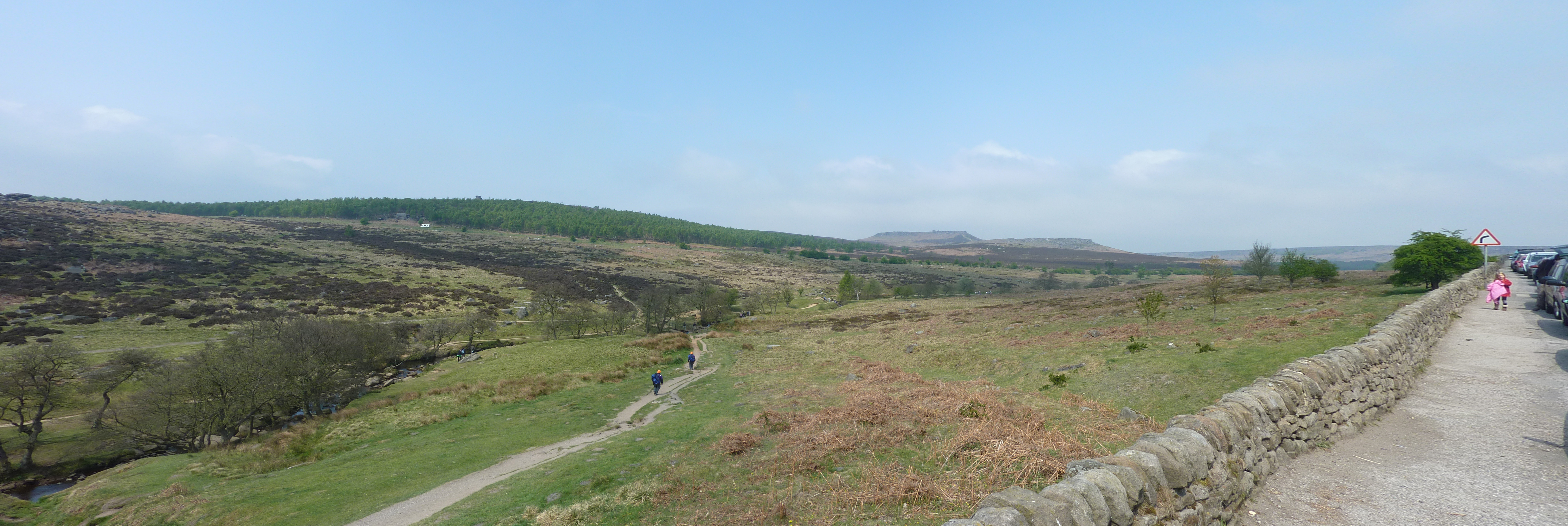
Across the road from the Information Point is a great panoramic view of the walk. From left to right you have Owler Tor then Higger Tor then Carl Wark hill fort.
Start point: Car park on A6187 near Hathersage
Start OS Ref: SK251800
Map: OL1 & OL24
Length: 5 miles (8km)
Height: 384m
Est time: 2hrs 10mins
Difficulty: Easy
Current Weather: Buxton
Memory Map Route: MMO File
GPS Data: GPX File
(Right click ‘GPX File’ and click ‘save as’.)

