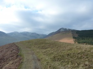
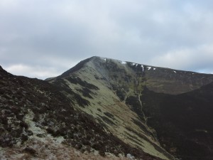
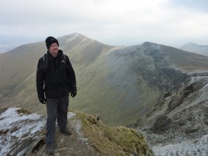
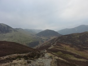
On a frosty winters morning we turned left out of the Royal Oak pub and headed west on the B5292 and made our first mistake by taking the wrong footpath… After some cursing and heading cross country for 5 mins we eventually got back on the right path. After a sharp climb and 2.5km in we got out first real sight of Grisedale Pike and it really became evident of what was in store for us.
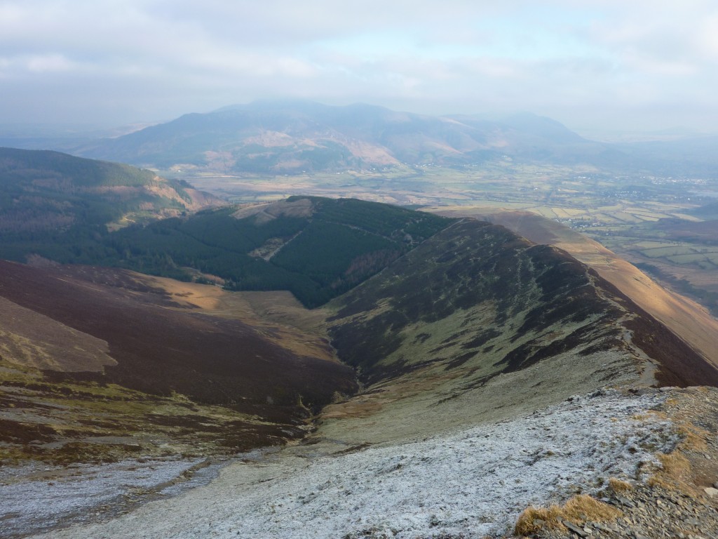
The steep climb over loose rock wasn’t easy and we often lost our footing. However once on top the view back towards Braithwaite was very rewarding. At that point we took 5 mins to catch our breath back and have a drink.
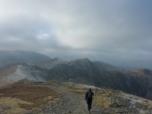
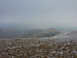
Next stop was Hopegill Head. This part of the walk was quite easy and the views spectacular. Looking off Hobcarton Crag gave a fantastic view to Hobcarton. From Hopegill Head you can just see the end of Crummock Water. We planned to carry on to Whiteside but with the distant skies looking threatening we’ll save that for another day. So we set off to Sail via Crag Hill
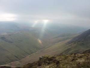
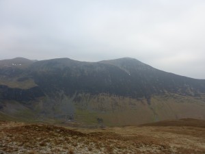
The walk down through Sand Hill and on to Crag Hill was a welcome break as it was either down hill or a very slight incline. At Crag Hill we headed East up to Sail, again this incline wasn’t too steep. From Sail the view over Keswick towards Skiddaw was slightly hampered by low cloud. Looking back to the slopes of Knott Rigg a shaft of sunlight had broken through the cloud proving the sun was still up there… The path down from Sail was rocky and tricky in places, care had to be taken.
When we drew level with Force Crag Mine we decided to stop and have lunch out of the wind but then it started to snow. Not heavy but enough to make us smile and eat lunch rather quickly in case it got heavier… After a quick snack we headed past Outside and over the top of Barrow. A favourite of my walking companion but why at this stage of the walk we had to go over more peaks only he knows 🙂 Barrow was the smallest peak of the day yet on the way down I managed to loose my footing 3 times on the well trodden smooth grass, I was not impressed. However this did not spoil a spectacular walk of over 15.5km and taking just under 5hr 30mins.
Start point: Braithwaite
Start OS Ref: NY231236
Map: OL4 The Lake District: NW
Length: 9miles (14.5km)
Height: 839m
Total Climb: 1200m
Est time: 6hrs
Difficulty: Hard
Current Weather: Keswick
Memory Map Route: MMO File
GPS Data: GPX File
(Right click ‘GPX File’ and click ‘save as’.)

