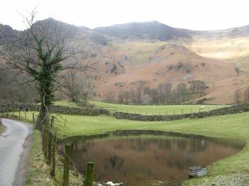
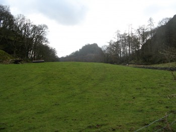
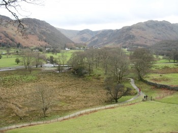
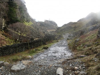
An easy walk, with a little over 200m of climbing, Castle Crag is a popular walk that leads to some fantastic views over Derwent Water. Starting in the small village of Grange, head south along the track/Cumbria Way past Holmcrag Wood. En route, The Lodge and Nitting Haws present themselves and impose as the backdrop. Just before you reach Holmcrag Wood you get a really good view of Castle Crag and what is to come and it looks steeper than it actually is.
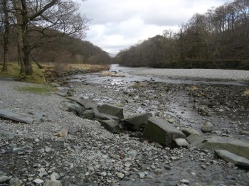
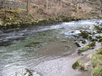
The track eventually turns in to a footpath running close to the River Derwent. Follow the path for half a mile or so, passing High Hows Wood, to Pennybrid Dub. Here we leave the Cumbria Way and start the ascent to Castle Crag.
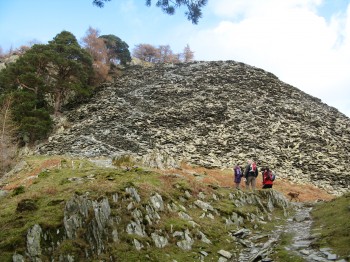
Rosthwaite in the distance is surrounded by the fells. The footpath becomes more uneven as you progress and steeper. There is a section of scree that needs a bit of scrambling but this is only for a sort distance and well worth the sweat. There is an better path to the east, however we couldn’t resist the challenge of the scree…
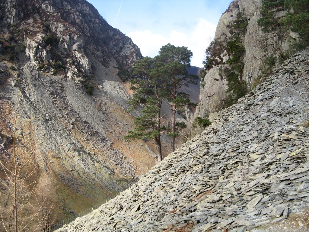
While climbing the scree the landscape vastly changed from a rolling green fell to a very hostile steep rocky environment. The twin trees that stand alone in this environment are a testimony to how bizarre Mother Nature can be at times.
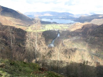
Once past the scree the greenery of the Lakelands appears again and the River Derwent can clearly be seen, feeding Derwent Water, from the top of Castle Crag. From the top, descent is easy on to the Allerdale Ramble. A steepish descent means it can be heavy on your knees but on a well marked path. Looking back up to Castle Crag, form near Hollow Stone, you can see how much you have dropped in a short distance. Keep following the path now all the way back to Grange village. Remembering to keep the river Derwent on your right.
Start point:
Start OS Ref: NY252174
Map: OL4 The Lake District: NW
Length: 3.2miles (5.1km)
Height: 290m
Total Climb: 200m
Est time: 2hrs
Difficulty: Easy
Current Weather: Keswick
Memory Map Route: MMO File
GPS Data: GPX File
(Right click ‘GPX File’ and click ‘save as’.)

