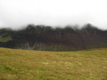
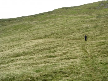
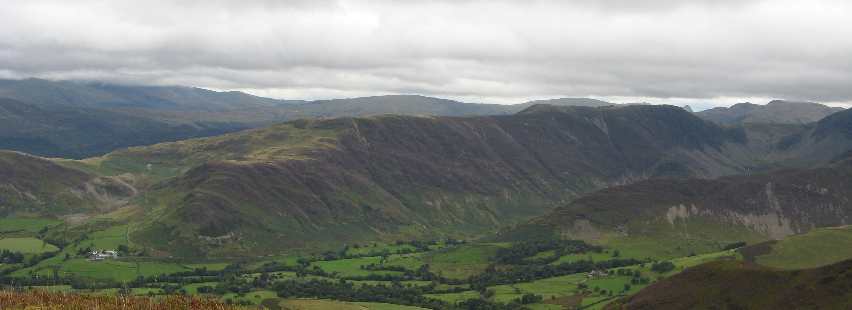
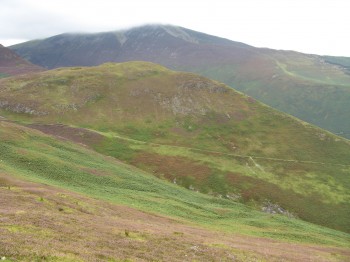
Starting just through Braithwaite, ease of parking is dependant on the time of year. During the summer the parking can be difficult as this is a popular starting point. Heading South West we decided to head straight for Outerside via Stile End. What a tough route this was to take, climbing some 160m in the last 600m up to Stile End. Once on top of Stile End refreshments were in order and a breather. Looking to our right, I was glad today’s walk wasn’t too high as the magnificent Grisedale was shrouded in cloud. Heading off to Outerside, there is momentary relief in walking down hill but that was soon stopped as the climb up, to our first Wainwright of the day, was another tough one. Coming off Outerside we saw a footpath cut out of the side of High Moss, heading up to Causey Pike, and decided to follow it. This was a relatively easy climb you just have to watch your footing though.
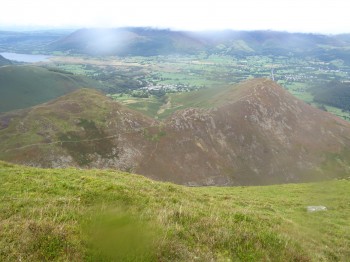
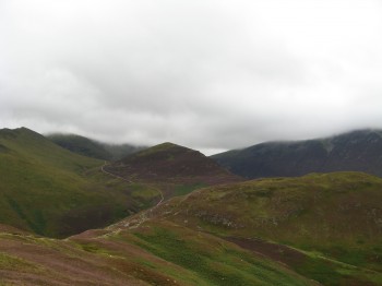
Once your up the footpath the route to Causey Pike is actually slightly down hill, providing some relief. The view back to the start of the walk and over Braithwaite shows Stile End, that we just climbed up, and Barrow,the final peak of the day. On top of Causey Pike the view East shows Cat Bells and Derwent Water.
Heading across Scar Crags towards Sail, which we didn’t reach on this walk, you can see how High Spy towers above Little Town.
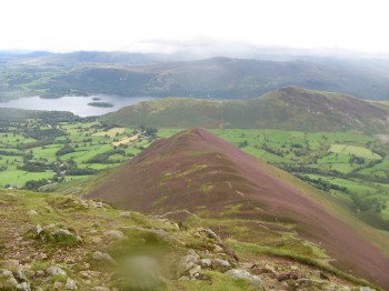
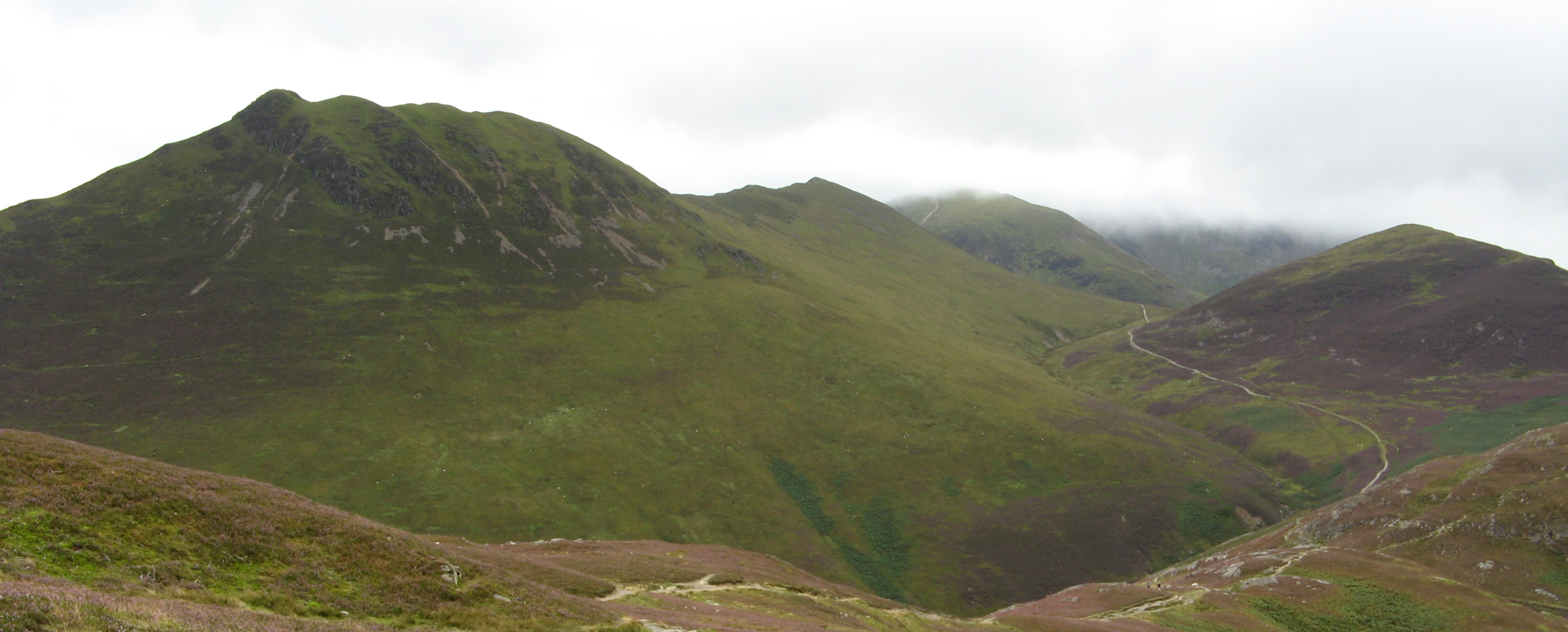
The route back is easy to follow and well marked. However, as you approach Barrow Door a network of footpaths seem to lead in all directions. As we headed over to Barrow we took whichever path seemed to lead the highest. The severity of the climb up to Stile End could now be seen as a real good profile of the peak was evident. Outerside stands proud amongst the other great peaks around it.
Then looking back at Causey Pike on the left and Outerside on the righ you get a real appreciation of the walk just completed. The route down off Barrow is fairly steep and can be slippery so footing must be watched.
Start point: Side of road outside Braithwaite
Start OS Ref: NY230232
Map: OL4 The Lake District: NW
Length: 7.1miles (11.5km)
Height: 637m
Est time: 4hrs 30mins
Difficulty: Medium
Current Weather: Keswick
Memory Map Route: MMO File
GPS Data: GPX File
(Right click ‘GPX File’ and click ‘save as’.)

