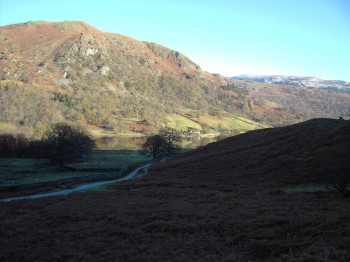
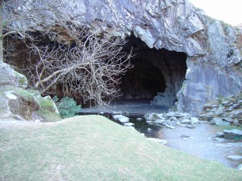
With a large car park just a few miles North of Ambleside on the A591 parking was easy. Heading South, out of the car park, across the footbridge makes a nice easy start to this walk. Rather than heading for the track against the shores of Rydal Water this route takes you up slightly to the caves and the disused quarry.
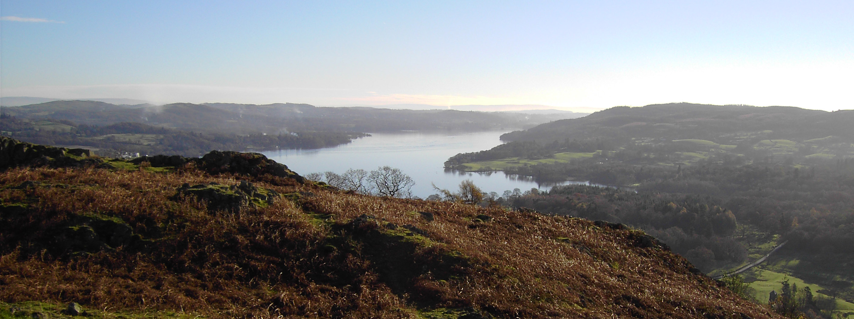
Following and exact path to Black Mire isn’t easy, just headed South while watching your footing as it was boggy in places with little streams to cross. Once on top of Black Mire the view towards Windermere is beautiful.
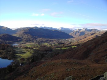
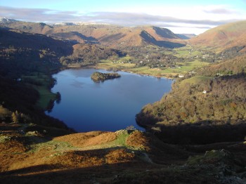
Heading from Black Mire to the Loughrigg Fell trig point there is an easy decent then a sharp 80 meter climb to the peak at 335 meters. From there with Elterwater in the foreground, dwarfed by Langdale Pikes, we head towards Loughrigg Terrace. From Loughrigg Terrace a great view of Grassmere presents its self before the steep decent down to it’s shores. From there follow the inter connecting water-way, of Rydal Water and Grassmere, back to the footbridge then across to the car park.
Start point: Car park off A591
OS Ref: NY350065
Map: OL7 The English Lakes: SE
Length: 4 miles (6.6km)
Height: 335m
Est time: 2hrs 20mins
Difficulty: Easy
Current Weather: Current Weather: Ambleside
Memory Map Route: MMO file
GPS Data: GPX File
(Right click ‘GPX File’ and click ‘save as’.)

