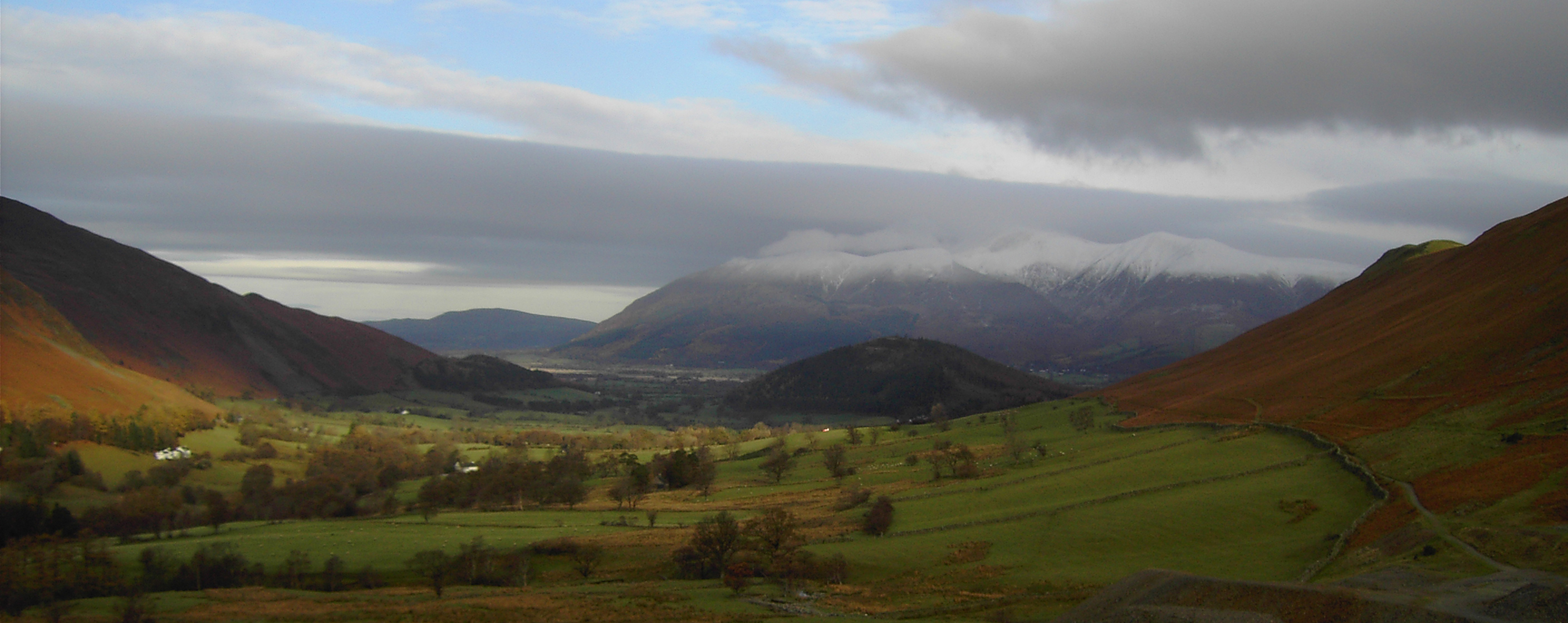
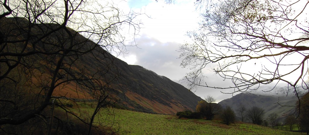
Arriving at the car park, just outside Little Town, for my first ever walk up a Wainwright I started to get a little apprehensive at just what lay ahead for me… Walking up the steep hill we drove down, I was already out of breath. Then turning on to the pathway that seemed even steeper and I thought to myself that this walking malarkey isn’t for me and we’d only done 500 meters… Then I looked North and saw a snow topped Skiddaw towering above Swinside and THAT took my breath away. What a view on my first ever walk and at that point I thought to myself ‘I’m going to enjoy this’
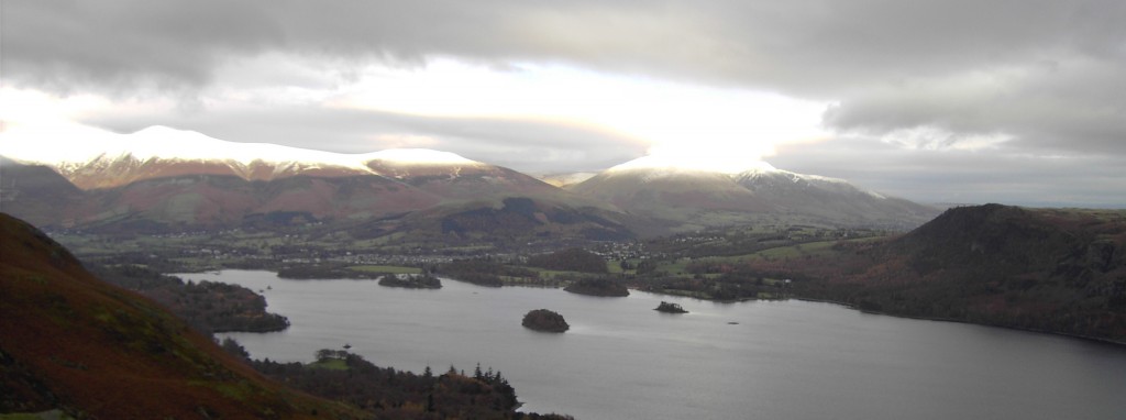
Continuing past the workings (disused) and past the old shafts up past Brunt Crag, my map reading skills started to kick in, I hadn’t read a map since I was in the scouts! Turning right, sorry, heading South up to Maiden Moor I started to walk backwards as the panoramic view to the North over Derwent Water was spectacular.
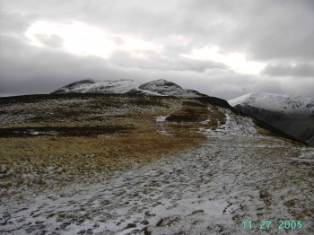
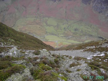
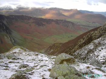
Walking up over Maiden Moor I realised we’d walked up in to the snow line and I really started to enjoy this. From Bull Crag I looked down towards Newland Beck and the height we were at really dawned on me.
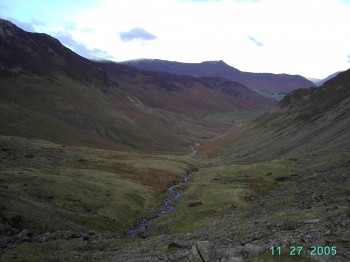
Once on top of Maiden Moor there is only around a 70m climb up to High Spy. All the hard climb was done from the car park to Maiden Moor climbing over 400m in just 2miles (3km). The cairn on High Spy, standing over 6 foot tall, it is well defined and can’t be missed. At this point it was time to take in the scenery, High Seat to the East and Causey Pike to the North, were notable Wainwrights that dominated the skyline. The route down was even steeper, dropping 400m in 1mile (1.6km), than the route up. Once down past Castle Nook the ground levels out and the sound of Newlands Beck to your left is a comfort if the weather comes in and visibility is reduced.
It was only back at the car park that I could really see what had been achieved on the walk. The ridge from Maiden Moor to High Spy looked incredible. This is a great walk to complete and once you get over the initial climb the views and walk to High Spy make up for all the heart ache of the first 2miles.
Start point: Car park by bridge
OS Ref: NY231193
Map: OL4 The Lake District: NW
Length: 6.7 miles (10.8km)
Height: 653
Est time: 4hrs 30mins
Difficulty: Medium
Current Weather: Keswick
Memory Map Route: MMO file
GPS Data: GPX File
(Right click ‘GPX File’ and click ‘save as’.)

